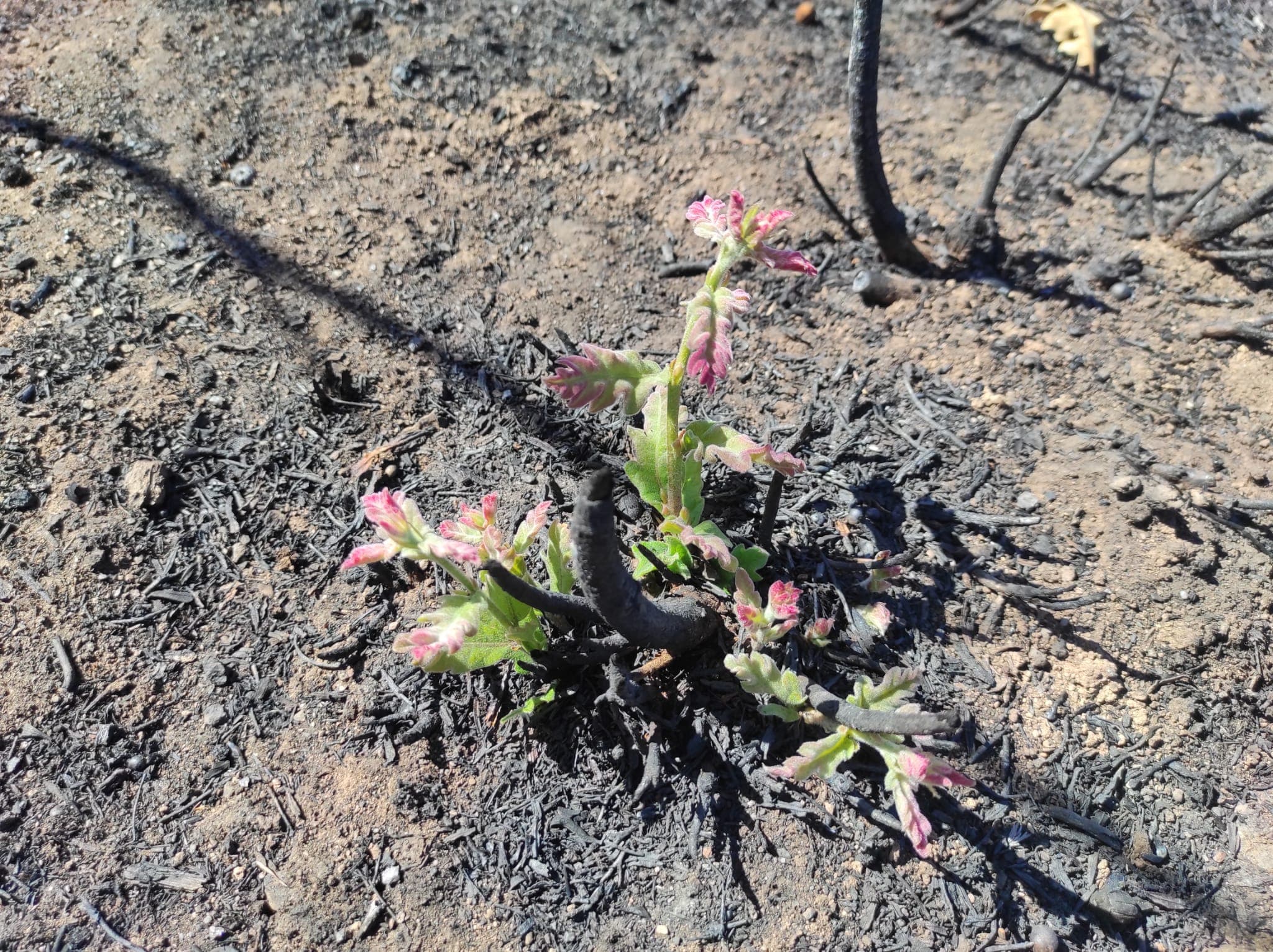
Fire Severity
Fire Severity Assessment
SEVESCAN supports consistent post-fire interpretation by connecting field photography with standardized severity descriptors used in ecological assessment and remote sensing validation.
Wildfire severity measures the magnitude of ecological change caused by fire in ecosystems. It is a key indicator for assessing fire impacts, guiding post-fire management, and validating remote sensing products.
Vegetation severity reflects changes in plant structure, cover, and mortality, indicating the degree of biomass consumption and canopy damage across burned landscapes.
Soil severity represents alterations in soil properties, including organic matter loss, structure degradation, and potential impacts on microbial communities and ecosystem functioning.
Together, these components provide a standardized and reproducible assessment of fire effects across ecosystems. Our AI workflow interprets visible burn patterns and vegetation damage to support more efficient field-based severity classification.